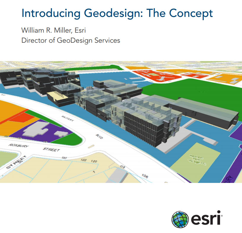
ESRI origins of Geodesign

Professor David Maguire, as Vice-Chancellor of the University Greenwich gave a short talk on Geodesign at the opening of the 2017 ECLAS conference. He worked in Geographical Information Systems for 25 years before coming to Greenwich and much of the time was as ESRI’s Chief Scientist. About 15 years ago they started to build design tools into the ArcGIS software (symbology, visualisation etc). The tools were easy to create. The conceptual work was more difficult. Before that GIS had been about representing the world ‘as it is’. But users kept saying “we don’t work in the past – we work in the future”. At that time there was no place in the ArcGIS software for the incorporation of future scenarios. Geodesign was born as a sub-discipline of GIS. ESRI’s founder, Jack Dangermond, was trained as a landscape architect. The ESRI book: Introducing Geodesign is available as an online pdf.
See also: blog post on Landscape Urbanism – and Geodesign.
This eBook places Geodesign in a historical theoretical context as a layered approach to design:

