London Open Space and Greenspace Planning
See also: blog posts about London Green Belt, Landscape and Open Space Planning

Reports on London landscape, open space, greenway and green infrastructure planning
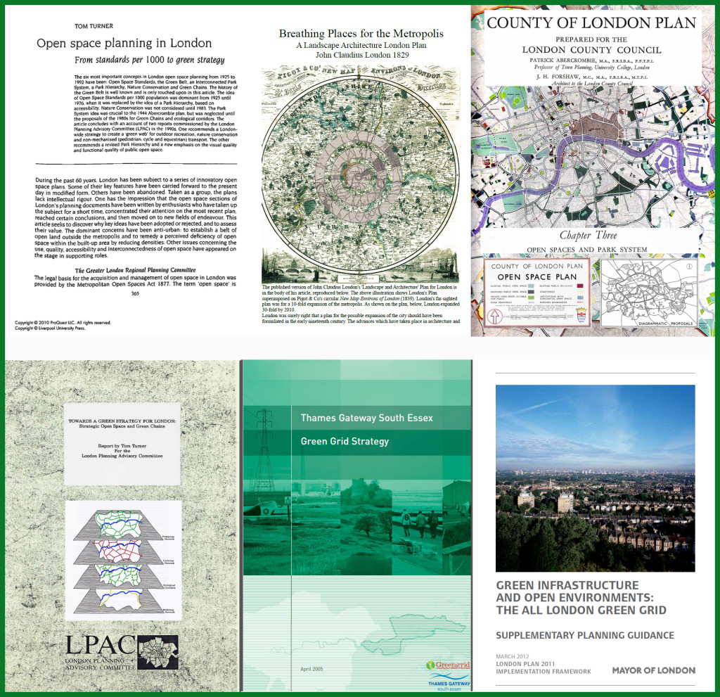
- Download pdf of article Open space planning in London: from standards per 1000 to green strategy Town Planning Review 63(4) 1992 (the first page is available free)
- Download a free pdf copy of John Claudius Loudon’s 1829 Breathing Places for the Metropolis – a landscape architecture and open space plan for London.
- Download a free pdf copy of the Open Space and Park System chapter from the Abercrombie and Forshaw County of London Plan 1943-4
- Download a free pdf copy of Tom Turner’s Report to LPAC Towards a green strategy for London 1992
- Download a free pdf copy of the Thames Gateway South Essex Green Grid Strategy (2004-5) Green Grid Partnership and LDA Design and J & L Gibbons (John Hopkins was the director in charge at Landscape Design Associates)
- Download a free pdf copy of the Greater London Authority’s East London Green Grid 2008
- Download a free pdf copy of the Greater London Authority’s All London Green Grid 2012
Significant dates in London POS Planning
- 1491-1547 as King of England, Henry VIII acquired the land which subsequently became London’s central Royal Parks
- 1625-1649 as King of Britain, Charles I began the conversion of Henry VIII’s deer parks into amenity open space
- 1660-1685 as King of Britain, Charles II allowed public access to London’s central Royal Parks
- 1829 John Claudius Loudon’s Breathing Zone plan for London
- 1833 Select Committee on Public Walks recommended public parks
- 1890 Lord Meath proposed a green belt to the London County Council Parks and Open Spaces Committee
- 1901 W.J Bull proposed a green girdle round London
- 1929 Raymond Unwin’s Memorandum No. 1, which formed part of the First Report of the Greater London Regional Planning Committee, included a plan for a Green Girdle round London
- 1943 Abercrombie’s County of London Plan recommended a continuous web of open space linking the city centre to a green belt
- 1951 The Administrative Country of London Plan concentrated on the concept of Open Space Deficiency and adopted, as a standard, four acres (1.62 ha) per 1,000 population plus three acres (1.21 ha) outside the Administrative County
- 1969 The Greater London Council (GLC) adopted the principle of London having a hierarchy of parks of different sizes, ranging from local parks to regional parks.
- 1976 The final draft of the Greater London Development Plan (GLDP) supported the Green Belt and approved the concept of Metropolitan Open Land
- 1991-2 A London Planning Advisory Committee (LPAC) document, Towards a Green Strategy for London, supported the 1943 concept of open spaces being linked into a Green Web and recommended the circular walks which became the Capital Ring and the London Loop
- 2004 The Greater London Authority’s 2004 GLA London Plan carried previous initiatives forward and introduced policies for Biodiversity and for developing London’s rivers as ‘Blue Ribbons’
- 2009 The Draft London Plan carried forward previous initiatives and introduced a Cycling Strategy, a Walking Strategy and a Green Grid Strategy.
